ESPM 172
3 Units
Photogrammetry and Remote Sensing
Catalog Course Description
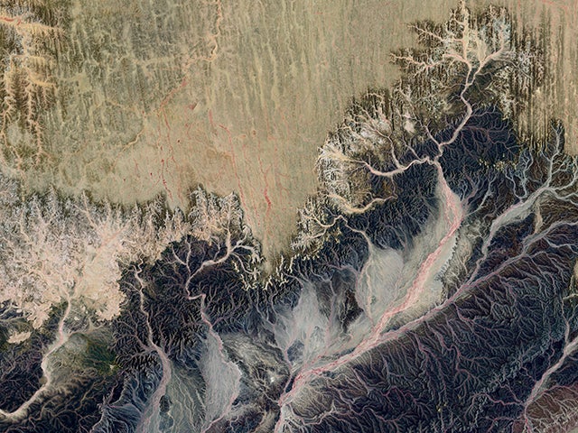
This course introduces the concepts and principles of photogrammetry and remote sensing, specifically aerial photography, as important data collection and analysis tools for natural resources management in spatial sciences such as ecology, geography, geology, civil engineering, and environmental design. Photo measures of scale, area, and object height, flight planning, an introduction to the electromagnetic spectrum, photo interpretation and mapping, digital remote sensing and data management in geographic information systems will be discussed.
Spring Term
2 hours of Instructor presentation of course materials per week and 4 hours of Outside Work Hours per week and 3 hours of Instructional experiences requiring special laboratory equipment and facilities per week.
Fall Term
2 hours of Instructor presentation of course materials per week and 4 hours of Outside Work Hours per week and 3 hours of Instructional experiences requiring special laboratory equipment and facilities per week.
